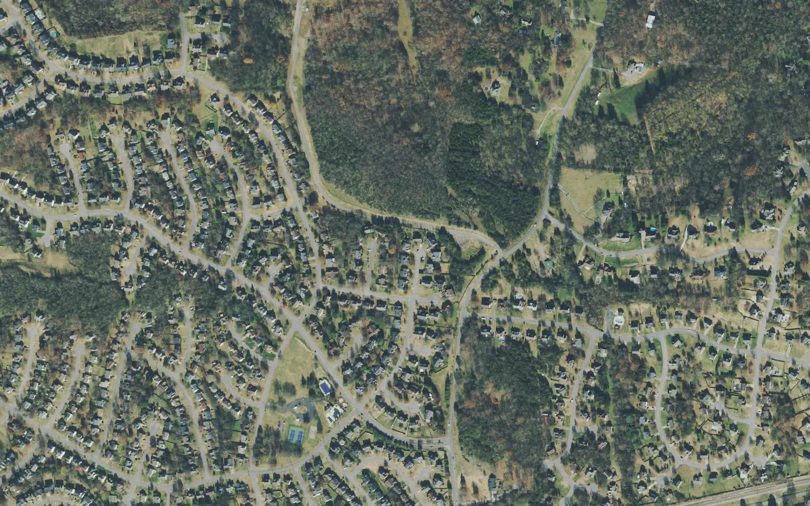
Greenhill, between Lebanon Road and Division Street in west Mount Juliet, is zoned for Green Hill High. ZIP 37122 was $565,761 in September 2026.
Last checked Oct. 17, 2026. Sources: the City of Mt. Juliet’s Land Use and Transportation Plan Update (PDF), parks and greenways map and capital projects listed in our parks guide; Wilson County Schools’ school zone lookup; the Tennessee Department of Education’s 2024-25 A-F letter grade file; the federal NCES school directory; the Zillow Home Value Index (Zillow Research); and OpenStreetMap (© OpenStreetMap contributors).
Greenhill is the west side of Mount Juliet between Lebanon Road and Division Street, out to the Davidson County line. The city’s land use plan names it Planning Area 3, Greenhill, about 3,500 acres. The plan lists no schools or parks inside it in 2016; what it does list are greenways, among them the West Division Street Pedestrian Trail and Bikeway, and a call for more medium- and high-density housing.
What this means for you
- Zoned high school: Green Hill High, 220 N. Greenhill Road (2024-25 state letter grade: A).
- Home value: $565,761 in ZIP code 37122 in September 2026, according to the Zillow Home Value Index.
- Nearest I-40 exits: Exit 226 (Mt. Juliet Road) or Exit 221 (Old Hickory Boulevard) in Hermitage, about equally near.
Part of our Mount Juliet neighborhoods guide.
Where it is
The plan’s boundaries are Lebanon Road (U.S. 70) to the north, North Mt. Juliet Road to the east, Division Street to the south and the county line to the west, where Wilson County meets Davidson County and Hermitage. South Greenhill Road runs north-south through it. The Census Bureau’s ZIP code areas put the city in 37122.
Places the plan lists in the area:
- Greenways: Willoughby Station (3,284 feet), the West Division Street Pedestrian Trail and Bikeway (11,090 feet, shared with Division Street West) and the Thompson property (363 feet)
- The John Cloyd House, 13836 Lebanon Road
- Lone Pine Farm and Pine Springs Farm, both Tennessee Century Farms established in 1810, off Tate Lane
The plan’s projects for the area: the Town Center Trail from Greenhill Road to the train station, Lebanon Road sidewalks from North Greenhill Road to North Mt. Juliet Road, and widening West Division Street from South Greenhill Road to North Mt. Juliet Road. The city lists Town Center Trail Phase 3, from South Greenhill Road to Mt. Juliet Elementary, as under construction.
Schools
We checked 14 points spread across Greenhill in the district’s zone lookup. All 14 returned Mt. Juliet Middle and Green Hill High. The elementary school depends on the street: Mt. Juliet Elementary at eight points, mostly the western and central part, and Elzie D. Patton Elementary at six points toward North Mt. Juliet Road. Grades are from the state’s 2024-25 A-F letter grades:
| Level | School | Address | 2024-25 grade |
|---|---|---|---|
| Elementary | Mt. Juliet Elementary | 2521 W. Division St. | B |
| Elementary | Elzie D. Patton Elementary | 1003 Woodridge Place | B |
| Middle | Mt. Juliet Middle | 3565 N. Mt. Juliet Road | A |
| High | Green Hill High | 220 N. Greenhill Road | A |
Green Hill High is just north of Lebanon Road, in the Nonaville planning area. Check one address in the zone lookup and see full results on the Tennessee State Report Card. More in our schools guide.
Home values
Zillow’s typical home value for ZIP code 37122 was $565,761 in September 2026, up 0.5% from $562,819 a year earlier, against $556,817 for the city. The index is a modeled value for a typical mid-priced home, not a sale price, and Zillow does not publish it below the ZIP code level. More in home prices.
Parks and trails
- West Division Street Pedestrian Trail and Bikeway, along the area’s southern edge.
- Town Center Trail, a 10-foot greenway; Phase 3 runs from South Greenhill Road to Mt. Juliet Elementary.
- Eagle Park, a bicycle park for young riders built as an Eagle Scout project, sits near the area’s east side, according to the city and OpenStreetMap.
The city’s paved greenways are open dawn to dusk. More in parks and trails and walking and biking trails.
Getting around
- Main roads: Lebanon Road (U.S. 70), West Division Street, South and North Greenhill Road and North Mt. Juliet Road.
- Nearest I-40 exits: Exit 226 (Mt. Juliet Road, State Route 171) and Exit 221 (State Route 45, Old Hickory Boulevard) in Hermitage are about the same distance from the middle of the area. Exit numbers are from OpenStreetMap.
- Distances by road from the Willoughby Station greenway, measured on OpenStreetMap’s road network: about 3 miles to City Hall and about 11.7 miles to Nashville International Airport. These are distances, not drive times.
- Transit: the WeGo Star stops at Mt. Juliet Station, 22 E. Division St., east of the area.
More in getting around.
Groceries and everyday stores
From OpenStreetMap:
- Kroger, 4120 N. Mt. Juliet Road, at the area’s northeast corner
- Publix, 4670 Lebanon Pike, and Aldi, 4751 Lebanon Pike, just over the county line in Hermitage
Related: Division Street West, Nonaville, Town Center and property taxes.
Frequently asked questions
Where is the Greenhill area of Mount Juliet?
It is the city’s Planning Area 3: the land between Lebanon Road and Division Street, from North Mt. Juliet Road west to the Davidson County line, about 3,500 acres in the city’s land use plan.
What schools is Greenhill zoned for?
Mt. Juliet Middle and Green Hill High at all 14 points we checked in the Wilson County Schools zone lookup, with Mt. Juliet Elementary or Elzie D. Patton Elementary depending on the street.
Is Greenhill a good place to live?
Here are the facts. Greenhill is a 3,500-acre planning area of subdivisions with the West Division Street trail and the Willoughby Station greenway, zoned for Green Hill High, which earned an A for 2024-25; the typical home value in ZIP 37122 was $565,761 in September 2026, according to Zillow.
Is Green Hill High in the Greenhill planning area?
No. Green Hill High, 220 N. Greenhill Road, is north of Lebanon Road, in the Nonaville planning area by the plan’s boundaries. Greenhill sits just south of it.
Have your say