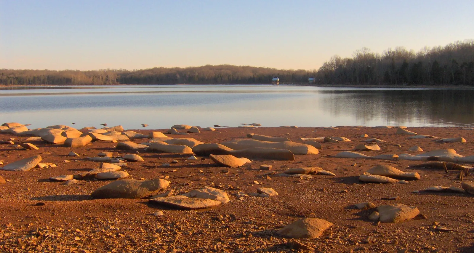
Mount Juliet's paved greenways, with miles and trailhead parking from the city map, plus Long Hunter State Park's 2.1-mile paved Couchville Lake loop.
Last checked Oct. 17, 2026. Greenway names and miles come from the City of Mt. Juliet’s Parks and Greenways Map (exported Jan. 7, 2026) and rules from its parks and greenways page. State park trails come from Tennessee State Parks.
Mount Juliet’s paved greenways add up to more than 12 miles on the city’s map, led by the Providence Greenway (2.91 miles), the Town Center Trail (2.54 miles), the Golden Bear Trail (2.25 miles) and three Cedar Creek Greenway segments. They are open dawn to dusk, shared by walkers and cyclists, with a 15 mph limit. For a longer or wilder walk, Long Hunter State Park has more than 36 miles of trails, including the paved 2.1-mile Couchville Lake loop.
Who to call
- Greenways and parks: Mt. Juliet Parks and Recreation, 615-758-6522
- Problems on a greenway (non-emergency): Mt. Juliet Police, 615-754-2550; emergencies 911
- ADA accommodations: 615-773-7957
- Long Hunter State Park: 615-885-2422, 2910 Hobson Pike, Hermitage
City greenways
From the legend of the city’s parks and greenways map:
| Greenway | Miles |
|---|---|
| Providence Greenway | 2.91 |
| Town Center Trail | 2.54 |
| Golden Bear Trail | 2.25 |
| Cedar Creek Greenway S | 2.23 |
| Cedar Creek Greenway | 1.17 |
| Cedar Creek Greenway N | 0.83 |
| Robinson Park Trail | 0.44 |
| Town Center Trail Connector | 0.15 |
| Other segments | 0.13 |
The map also shows the planned Hill Baker greenway as a future route.
Where to start: trailhead parking
The map’s start and stop points:
- Charlie Daniels Park parking lot, 1075 Charlie Daniels Parkway: the park’s one-mile walking track joins the Cedar Creek Greenway
- Cedar Creek Greenway trailhead
- Golden Bear Gateway (GBG) trailhead parking lot
- Providence Marketplace parking lot, 401 S. Mt. Juliet Road, for the Providence Greenway
- Robinson Park trailhead lot: Robinson Family Park is a certified wildlife habitat with a walking trail and outdoor fitness equipment
- Town Center trailhead parking lot
- Windtree Pines sidewalk access
Download the 8.5-by-11 map to carry with you.
Greenway rules
From the city’s etiquette rules:
- Paved trails are two-way and multi-use; open dawn till dusk
- 15 mph maximum speed
- No motorized vehicles or anything with a combustible motor; mobility devices for accessibility are allowed
- Leashes no longer than 6 feet; clean up pet waste
- No smoking, alcohol, drugs, littering, soliciting or loitering
Long Hunter State Park trails
Long Hunter State Park, 2910 Hobson Pike in Hermitage, on Percy Priest Lake:
| Trail | Miles | Difficulty | Surface | Dogs |
|---|---|---|---|---|
| Couchville Lake Trail | 2.1 | Easy | Paved, wheelchair friendly | Not stated |
| Volunteer Trail | 5.5 | Moderate | Natural | Leashed dogs allowed |
| Day Loop Trail | 4.0 | Difficult | Natural | Not stated |
| Bryant Grove Trail | 4.0 | Moderate | Natural | No pets |
| Cedar Glade Trail | 0.9 | Moderate | Natural | Leashed dogs allowed |
| Deer Trail | 0.85 | Easy | Natural | Leashed dogs allowed |
| Inland Trail | 0.7 | Easy | Natural | Not stated |
| Reading Ranger Story Trail | 0.3 | Easy | Mixed | No pets |
- Couchville Lake Trail circles the 110-acre lake and passes the Couchville Lake Arboretum, where 45 species of trees are labeled.
- Volunteer Trail, the park’s longest, follows the lakeshore and climbs to bluffs, with two primitive backcountry campsites.
- Bryant Grove Trail links the Couchville Lake area with the Bryant Grove recreation area along the lake.
- Reading Ranger Story Trail, behind the Couchville/Area 2 parking lot, puts enlarged pages from children’s books along the path.
- Deer Trail: the park warns of ticks in warm months.
Mountain biking: the Jones Mill Mountain Bike Trail at Bryant Grove is 5 miles, rated intermediate, in orange (3 miles), red (1.8 miles) and white (1.6 miles) loops.
New trails coming
From the city’s capital projects tracker, as reported in parks and trails:
- Town Center Trail, Phase 3: a 10-foot greenway from S. Greenhill Road to Mt. Juliet Elementary School, under construction.
- Cedar Creek Greenway, Phase 2: a 10-foot trail from Charlie Daniels Park to Lebanon Road and Mt. Juliet League Park, in final design.
- Golden Bear Gateway widening: 10-foot multi-use paths on both sides. See road construction.
What this means for you
- Greenways close at dusk; plan evening walks for summer.
- Long Hunter’s Couchville Lake loop is the flat, paved choice; the Volunteer Trail is the long one.
- Dogs: check the table; two Long Hunter trails ban pets.
Frequently asked questions
How long is the Cedar Creek Greenway in Mount Juliet?
The city’s parks and greenways map lists three Cedar Creek Greenway segments: 1.17 miles, 0.83 mile for the north section and 2.23 miles for the south section. It joins the one-mile walking track at Charlie Daniels Park.
Where can I park for the Mount Juliet greenways?
The city map lists trailhead parking at Charlie Daniels Park, the Cedar Creek Greenway trailhead, the Golden Bear Gateway trailhead, Providence Marketplace, the Robinson Park trailhead and the Town Center trailhead, plus a sidewalk access at Windtree Pines.
Are e-bikes allowed on Mount Juliet greenways?
The city’s rules ban motorized vehicles and anything with a combustible motor on its trails, with an exception for mobility devices used for accessibility. The speed limit is 15 mph.
What is the easiest trail at Long Hunter State Park?
The Couchville Lake Trail: a flat, paved, mostly shaded 2.1-mile loop around 110-acre Couchville Lake that Tennessee State Parks rates easy and lists as wheelchair friendly.
Where can I mountain bike near Mount Juliet?
The Jones Mill Mountain Bike Trail at Long Hunter State Park’s Bryant Grove area is about 5 miles and rated intermediate, in orange, red and white loops.
Have your say