Division Street East, between I-40 and East Division Street, is zoned for Mt. Juliet High. ZIP 37122 was $565,761 in September 2026, per Zillow.
Last checked Oct. 17, 2026. Sources: the City of Mt. Juliet’s Land Use and Transportation Plan Update (PDF) and Parks and Facilities page; Wilson County Schools’ school zone lookup; the Tennessee Department of Education’s 2024-25 A-F letter grade file; the federal NCES school directory; the Zillow Home Value Index (Zillow Research); and OpenStreetMap (© OpenStreetMap contributors).
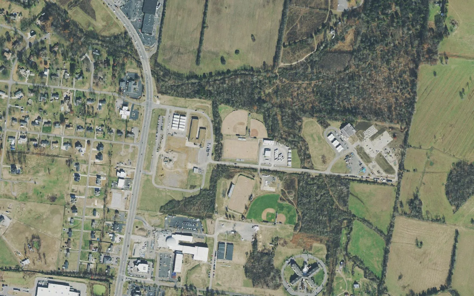
Division Street East is the wedge of Mount Juliet between East Division Street and Interstate 40, east of North Mt. Juliet Road. The city’s land use plan names it Planning Area 4, Division Street East, about 2,940 acres. Its west edge, along North Mt. Juliet Road, holds two public schools and Jones Family Park; farther east the plan pairs homes with industrial land and asks the city to keep the two apart.
What this means for you
- Zoned high school: Mt. Juliet High, 1875 Golden Bear Gateway (2024-25 state letter grade: A).
- Home value: $565,761 in ZIP code 37122 in September 2026, according to the Zillow Home Value Index.
- Nearest I-40 exits: Exit 226 (Mt. Juliet Road) on the west side; Exit 229 (Beckwith Road and Golden Bear Gateway) on the east side.
Part of our Mount Juliet neighborhoods guide.
Where it is
The plan’s boundaries are East Division Street to the north, the city’s urban growth boundary to the east, Interstate 40 to the south and North Mt. Juliet Road to the west. Beckwith Road and Golden Bear Gateway reach it from the I-40 exit at its east end. Part of the planning area lies outside the city limits. The Census Bureau’s ZIP code areas put the city in 37122.
Places the plan lists in the area:
- Stoner Creek Elementary, 1035 N. Mt. Juliet Road, and West Wilson Middle, 935 N. Mt. Juliet Road
- Jones Family Park, 1691 N. Mt. Juliet Road
- Greenways at Cedar Creek Commons (635 feet) and the Park Glen Soccer Complex (2,600 feet)
- The Mt. Juliet/West Wilson County Senior Activity Center, 2034 N. Mt. Juliet Road, and Mt. Juliet Station on Division Street, both shared with the Town Center
The plan’s list of issues starts with coordinating industrial growth “to minimize negative impacts to residential developments,” then mixed-use and business development along East Division Street. Road projects it names: the Beckwith Road/East Connector, the Town Center Trail, lighting at the I-40 and Mt. Juliet Road interchange, widening the Mt. Juliet Road bridge over I-40, widening East Division Street to Golden Bear Gateway and widening and safety work on Beckwith Road.
Schools
We checked 13 points spread across the part of the area inside the city limits in the district’s zone lookup, and every one returned the same three schools. Grades are from the state’s 2024-25 A-F letter grades:
| Level | School | Address | 2024-25 grade |
|---|---|---|---|
| Elementary | Stoner Creek Elementary | 1035 N. Mt. Juliet Road | A |
| Middle | West Wilson Middle | 935 N. Mt. Juliet Road | A |
| High | Mt. Juliet High | 1875 Golden Bear Gateway | A |
The elementary and middle schools are inside the area, side by side on North Mt. Juliet Road. Mt. Juliet High is north of Division Street in the Cedar Creek area. Check one address in the zone lookup and see full results on the Tennessee State Report Card. More in our schools guide.
Home values
Zillow’s typical home value for ZIP code 37122 was $565,761 in September 2026, up 0.5% from $562,819 a year earlier; the city figure was $556,817. The index is a modeled value for a typical mid-priced home, not a sale price, and Zillow does not publish it below the ZIP code level. More in home prices.
Parks and trails
- Jones Family Park, 1691 N. Mt. Juliet Road: a disc golf driving range, sand volleyball, a walking trail, picnic areas and a half-acre fenced bark park, according to the city’s plan and parks pages.
- Town Center Trail, a city greenway project toward the train station on the area’s north edge.
More in parks and trails.
Getting around
- Main roads: North Mt. Juliet Road (State Route 171), East Division Street, Beckwith Road and Golden Bear Gateway.
- Nearest I-40 exits: Exit 226 (Mt. Juliet Road) at the west end and Exit 229 (Beckwith Road and Golden Bear Gateway) at the east end. Exit numbers are from OpenStreetMap.
- Distances by road from Stoner Creek Elementary, measured on OpenStreetMap’s road network: about 2 miles to City Hall and about 12.9 miles to Nashville International Airport. These are distances, not drive times.
- Transit: Mt. Juliet Station for the WeGo Star, 22 E. Division St., is on the area’s north edge.
More in getting around and road construction.
Groceries and everyday stores
OpenStreetMap lists ALDI, 315 N. Mt. Juliet Road, near the I-40 interchange. The nearest others it lists are the Walmart Supercenter, 300 Pleasant Grove Road, across North Mt. Juliet Road, and the Kroger and Publix south of I-40 at Providence.
Related: Town Center, Cedar Creek, Providence and property taxes.
Frequently asked questions
Where is Division Street East in Mount Juliet?
It is the city’s Planning Area 4: the land south of East Division Street and north of Interstate 40, from North Mt. Juliet Road east to the city’s growth boundary, about 2,940 acres in the city’s land use plan.
What schools is Division Street East zoned for?
Stoner Creek Elementary, West Wilson Middle and Mt. Juliet High, at all 13 points we checked inside the city limits in the Wilson County Schools zone lookup. All three earned an A on Tennessee’s 2024-25 letter grades.
Is Division Street East a good place to live?
Here are the facts. Division Street East is a 2,940-acre planning area with Jones Family Park and two public schools on North Mt. Juliet Road, zoned for Mt. Juliet High, which earned an A for 2024-25; the typical home value in ZIP 37122 was $565,761 in September 2026, according to Zillow.
What I-40 exits serve Division Street East?
Exit 226 (Mt. Juliet Road) at the west end and Exit 229 (Beckwith Road and Golden Bear Gateway) at the east end, according to OpenStreetMap.
Have your say