Providence, Mount Juliet south of I-40, is zoned for Wilson Central High, graded C for 2024-25. ZIP 37122 was $565,761 in September 2026, per Zillow.
Last checked Oct. 17, 2026. Sources: the City of Mt. Juliet’s Land Use and Transportation Plan Update (PDF) and Mundy Memorial Park page; Wilson County Schools’ school zone lookup; the Tennessee Department of Education’s 2024-25 A-F letter grade file; the federal NCES school directory; the Zillow Home Value Index (Zillow Research); and OpenStreetMap (© OpenStreetMap contributors).
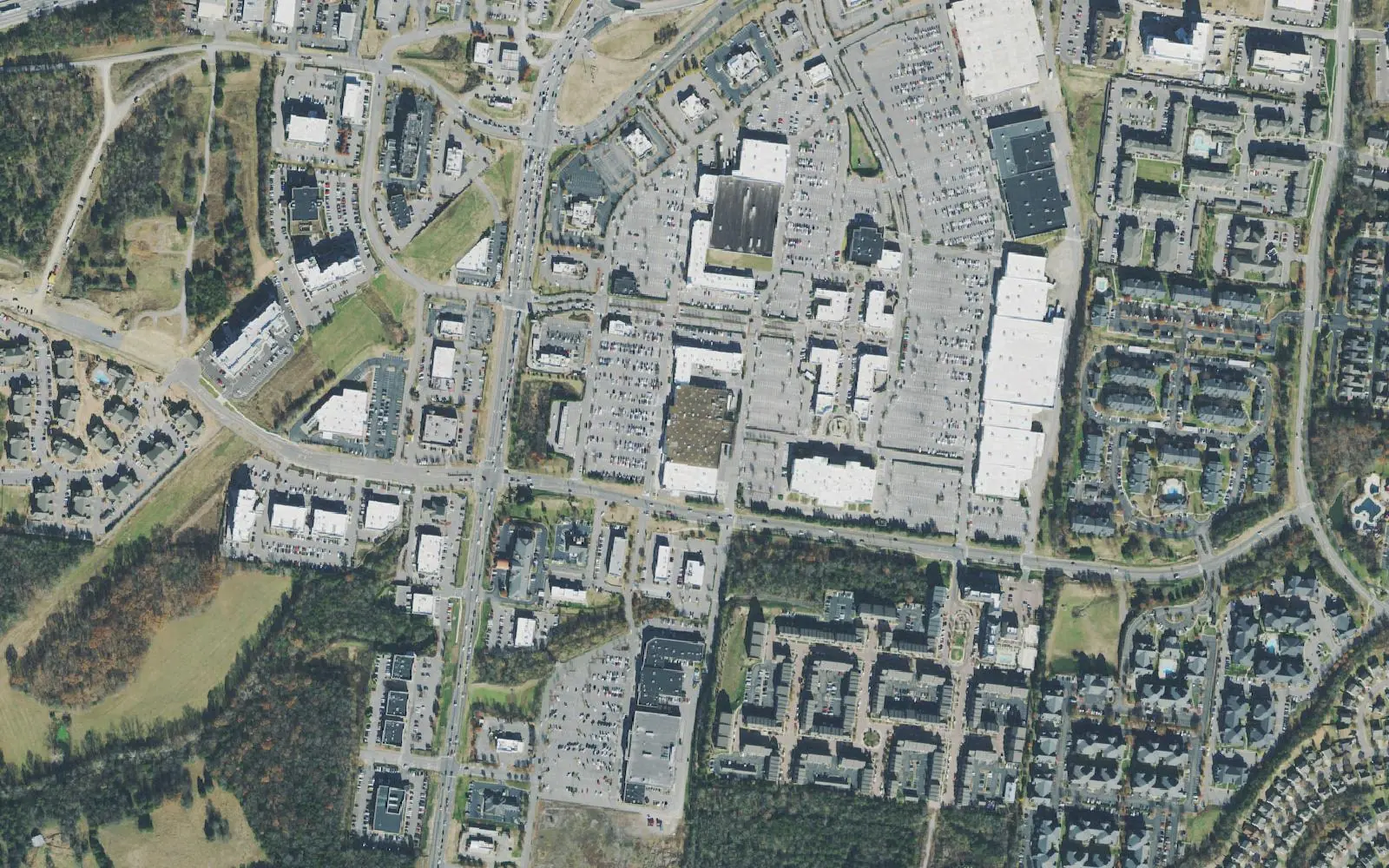
Providence is Mount Juliet south of the interstate. The city’s land use plan names it Planning Area 6, Providence, about 8,290 acres from Interstate 40 down to Central Pike, and it takes its name from the Providence shopping district on South Mt. Juliet Road, with its stores, restaurants and cinema. Around the shopping district are apartments and subdivisions, and farther south the plan lists century farms along Central Pike. It is also the part of the city zoned for a different high school: Wilson Central High.
What this means for you
- Zoned high school: Wilson Central High, 419 Wildcat Way, Lebanon (2024-25 state letter grade: C).
- Home value: $565,761 in ZIP code 37122 in September 2026, according to the Zillow Home Value Index.
- Nearest I-40 exit: Exit 226 (Mt. Juliet Road); ramp 226C serves Belinda Parkway and Providence Way.
Part of our Mount Juliet neighborhoods guide.
Where it is
The plan’s boundaries are Interstate 40 to the north, the urban growth boundary to the east, Central Pike and the growth boundary to the south, and the county line to the west. South Mt. Juliet Road, Providence Parkway and Belinda Parkway are the main roads near the shopping district; South Rutland Road and Central Pike run through the south. Part of the planning area lies outside the city limits. The Census Bureau’s ZIP code areas put the city in 37122.
Places the plan lists in the area:
- Rutland Elementary, 1995 S. Rutland Road
- Sgt. Jerry Mundy Memorial Park, 300 Mundy Memorial Drive, and the South Mt. Juliet Bark Park, 135 SE Springdale Drive
- The Providence shopping district on South Mt. Juliet Road, with dining, retail and the Providence 14 cinema
- Greenways at Providence Marketplace (4,576 feet) and Providence Residential (14,048 feet)
- The PFC William Edsel Wright Bridge on Stewarts Ferry Pike, Suggs Creek Cumberland Presbyterian Church on Corinth Road, and three Tennessee Century Farms: Alford Farm, 7800 Central Pike (1816), Blue Lake Ranch, 8960 Central Pike (1891), and Baird Farm off South Rutland Road (1801)
The plan calls for mixed use, interstate commercial and medium- to high-density housing here. Road projects it lists include the Central Pike interchange at I-40, widening South Mt. Juliet Road from Central Pike to Providence Parkway, a Belinda Parkway pedestrian connector, widening Central Pike and the Beckwith Road/East Connector.
Schools
We checked 18 points spread across the part of Providence inside the city limits in the district’s zone lookup. All 18 returned Gladeville Middle and Wilson Central High. Sixteen returned Rutland Elementary; two in the south returned Central Pike Elementary, which has no 2024-25 grade in the state’s file. Grades are from the state’s 2024-25 A-F letter grades:
| Level | School | Address | 2024-25 grade |
|---|---|---|---|
| Elementary | Rutland Elementary | 1995 S. Rutland Road | A |
| Middle | Gladeville Middle | 8275 Stewarts Ferry Pike | A |
| High | Wilson Central High | 419 Wildcat Way, Lebanon | C |
On the state’s components, Wilson Central earned an A for achievement, an F for growth and for growth among its lowest-scoring students, and a B for college and career readiness, for an overall C. Check one address in the zone lookup and see full results on the Tennessee State Report Card. More in our schools guide.
Home values
Zillow’s typical home value for ZIP code 37122 was $565,761 in September 2026, up 0.5% from $562,819 a year earlier; the city figure was $556,817. The index is a modeled value for a typical mid-priced home, not a sale price, and Zillow does not publish it below the ZIP code level. More in home prices.
Parks and trails
- Mundy Memorial Park, 300 Mundy Memorial Drive: a walking track, tennis and pickleball courts, a multipurpose field, a playground, a pavilion and an outdoor workout station, and home of the Mt. Juliet Youth Football and Cheerleading Association, according to the city.
- South Mt. Juliet Bark Park, 135 SE Springdale Drive: a bark park, pavilion, playground and sand volleyball.
- Greenways through the Providence Marketplace and Providence Residential areas.
More in parks and trails and dog-friendly places.
Getting around
- Main roads: South Mt. Juliet Road (State Route 171), Providence Parkway, Belinda Parkway and Central Pike (State Route 265).
- Nearest I-40 exit: Exit 226 (Mt. Juliet Road), with ramps 226A and 226B for State Route 171 and 226C for Belinda Parkway and Providence Way. Exit numbers are from OpenStreetMap.
- Distances by road from 401 S. Mt. Juliet Road, measured on OpenStreetMap’s road network: about 3.1 miles to City Hall and about 12 miles to Nashville International Airport. These are distances, not drive times.
- Transit: the WeGo Star stops at Mt. Juliet Station, 22 E. Division St., north of I-40.
More in getting around.
Groceries and everyday stores
From OpenStreetMap, on South Mt. Juliet Road:
- Kroger, 401 S. Mt. Juliet Road
- Publix, 665 S. Mt. Juliet Road
The shops and restaurants at the center itself are in our Providence Marketplace guide.
Related: Division Street East, Division Street West and property taxes.
Frequently asked questions
Where is Providence in Mount Juliet?
It is the city’s Planning Area 6: everything in the planning area south of Interstate 40, down to Central Pike and the city’s growth boundary, about 8,290 acres in the city’s land use plan. The Providence shopping district on South Mt. Juliet Road gives it its name.
What schools is Providence zoned for?
Wilson Central High and Gladeville Middle at all 18 points we checked inside the city limits in the Wilson County Schools zone lookup, with Rutland Elementary at 16 and Central Pike Elementary at two in the south.
Is Providence a good place to live?
Here are the facts. Providence is an 8,290-acre planning area holding the Providence shopping district and Mundy Memorial Park, zoned for Wilson Central High, which received a C for 2024-25; the typical home value in ZIP 37122 was $565,761 in September 2026, according to Zillow.
Is Providence zoned for Mt. Juliet High?
No. None of the 18 points we checked south of I-40 returned Mt. Juliet High or Green Hill High. They all returned Wilson Central High, 419 Wildcat Way, Lebanon.
Have your say